Water Main & Utility Mapping in Texas
Map mains, services and crossing utilities before replacement design or a replacement contract goes out.
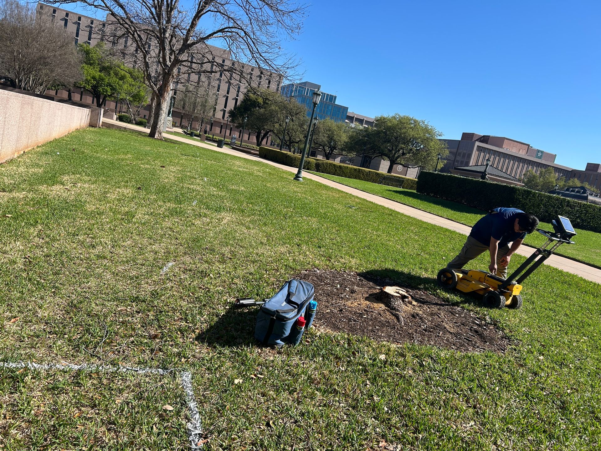
For designers
Engineers get located mains, services, valves and crossing utilities with GPS positions, so replacement plans start from what is in the ground rather than old record drawings.
For contractors
Replacement and boring contractors get marked, mapped conflicts before they mobilize, which cuts strikes, change orders and lost days.
Deliverables
Field marks plus a PDF exhibit and KMZ or shapefile, with points and photos where needed.
Water Main & Utility Mapping questions
Can the data go into our GIS?
Yes. KMZ, shapefile and CSV are standard; tell us your coordinate system and attribute fields when you request the work.
Helpful guides
Towns we serve for water main & utility mapping
Dallas–Fort Worth
Central Texas
South Texas
Related services
Get a quote for water main & utility mapping
Send the system name, area and rough line count. You'll get a written scope and price for locating, recording and mapping.
Calls ring straight through to the scheduling team. The form takes photos, drawings and site details.