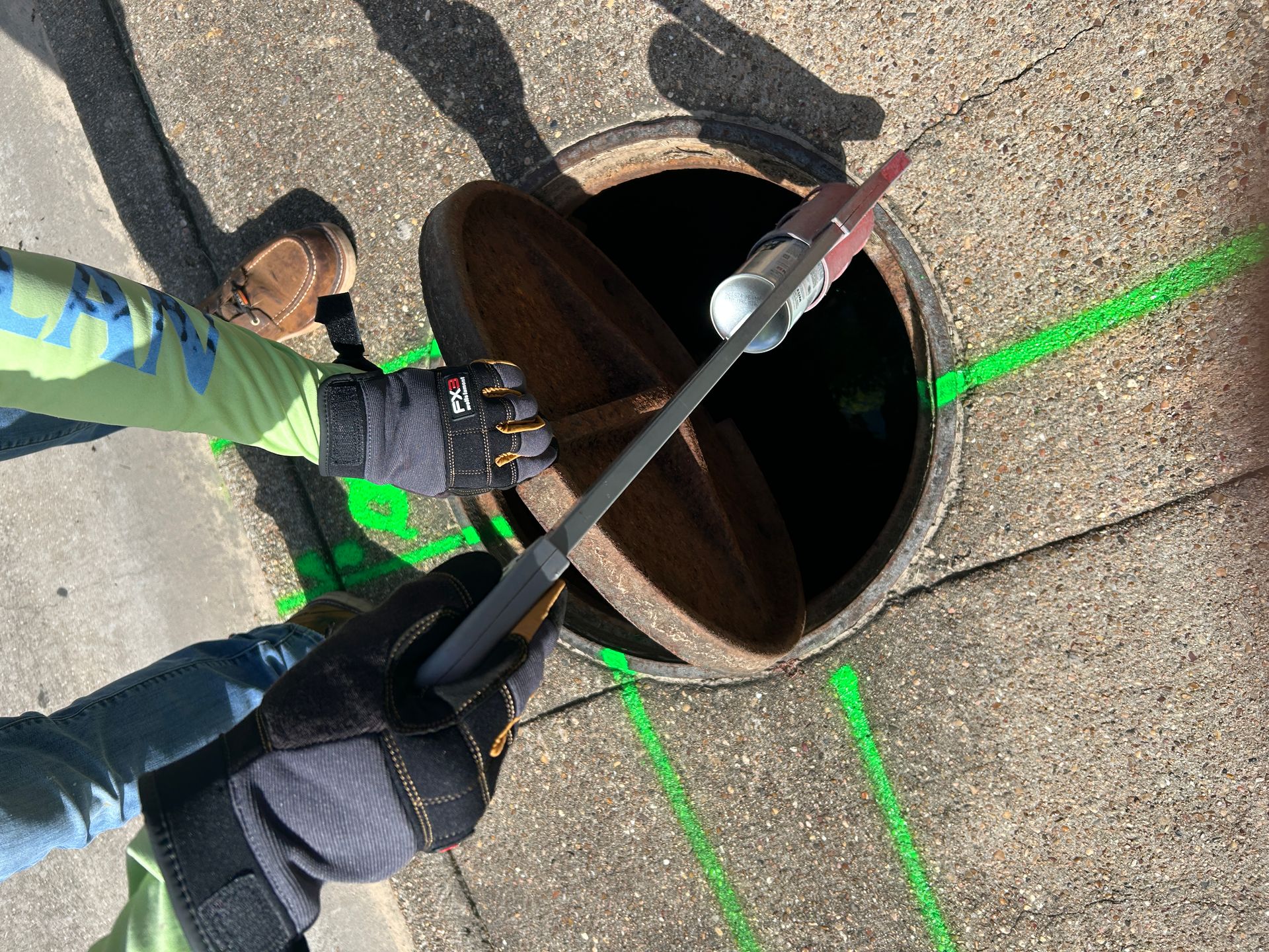
Lead service line inventories, locating & mapping in Texas
Find every service line before the 2027 deadline.
Field locating, scanning and GIS-ready data for Texas cities, MUDs, water supply corporations and the engineers and contractors working for them.
- Built for LCRI inventory and replacement work
- GPS points, KMZ, shapefile and CSV deliverables
- Statewide, from the Houston MUDs to El Paso
- Certificate of insurance on request
Field services for service line work
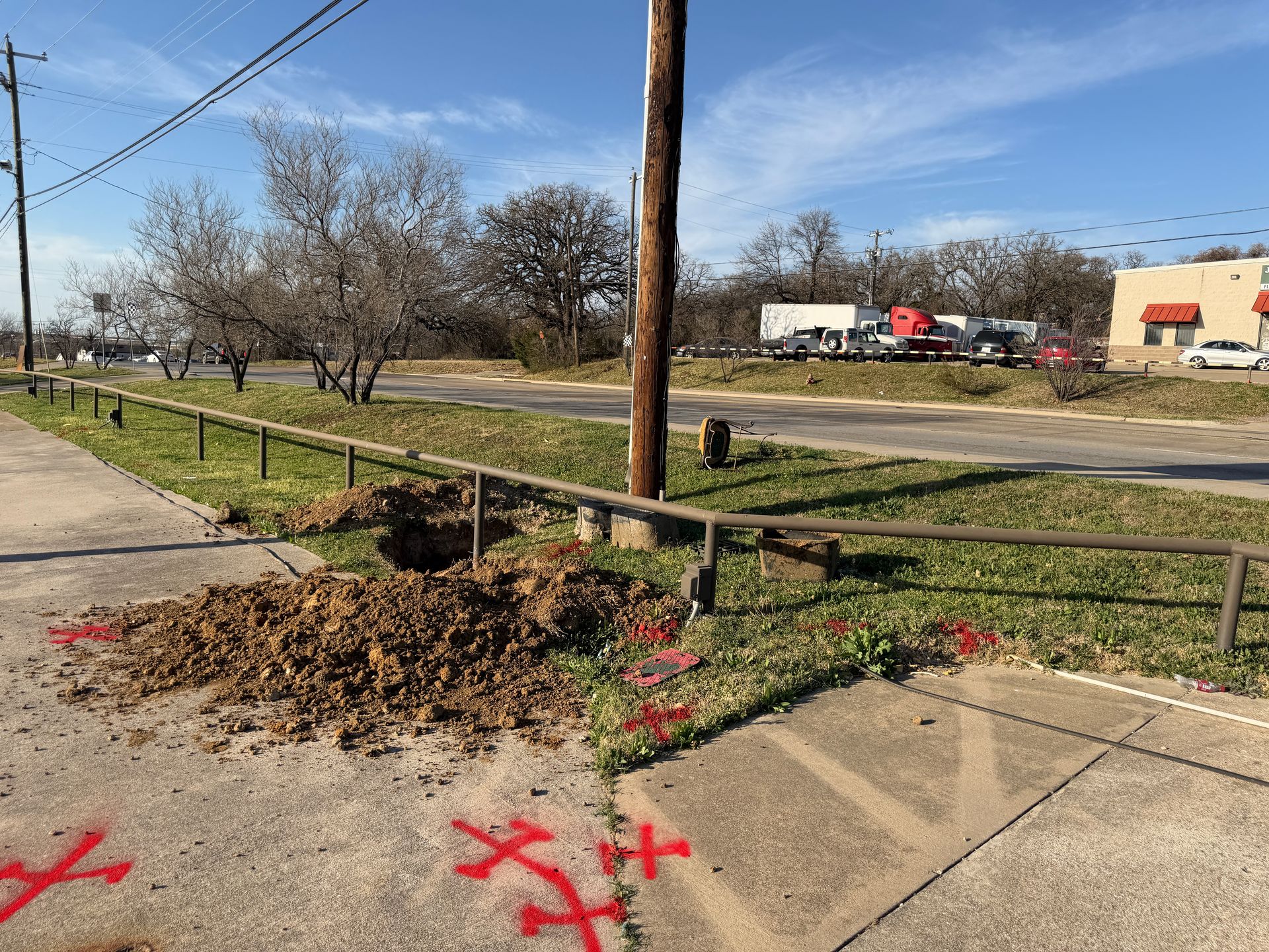 Service Line Inventory Field DataLocate curb stops and meter boxes, trace service lines and record GPS points and photos for your LCRI inventory.Learn more →
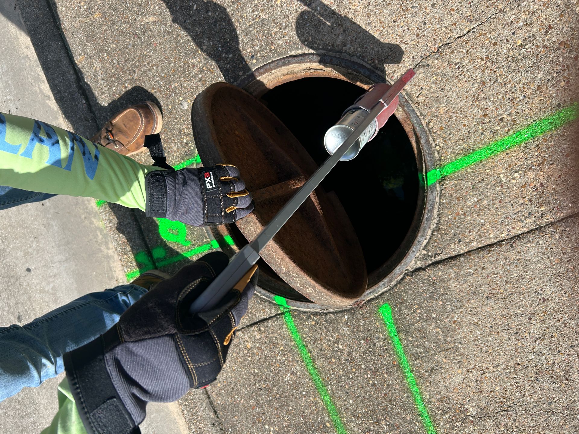 Service Line & Curb Stop LocatingElectromagnetic and GPR locating of service lines, curb stops and meter boxes, marked in the field.Learn more →
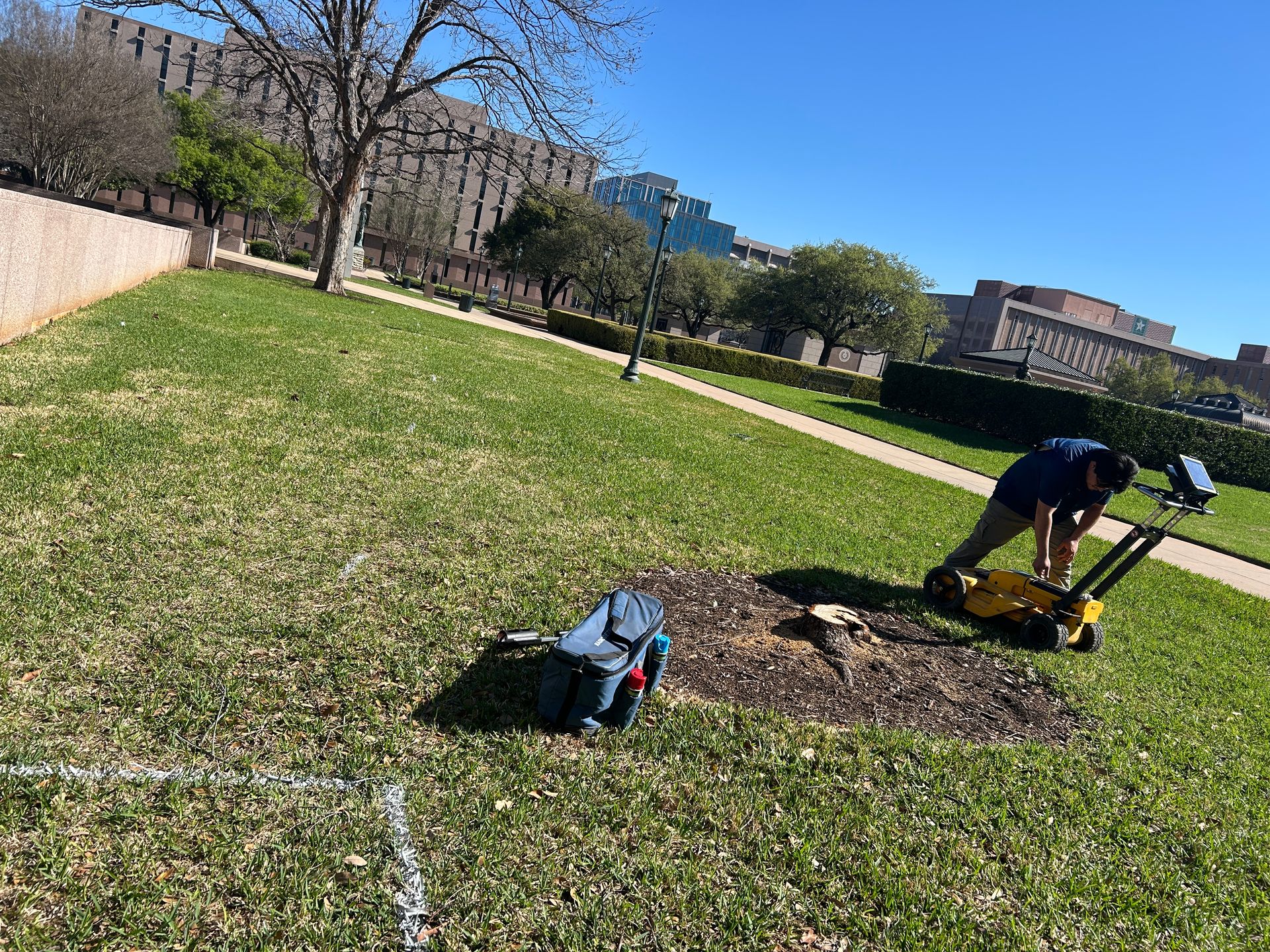 Water Main & Utility MappingMap mains, services and crossing utilities before replacement design or a replacement contract goes out.Learn more →
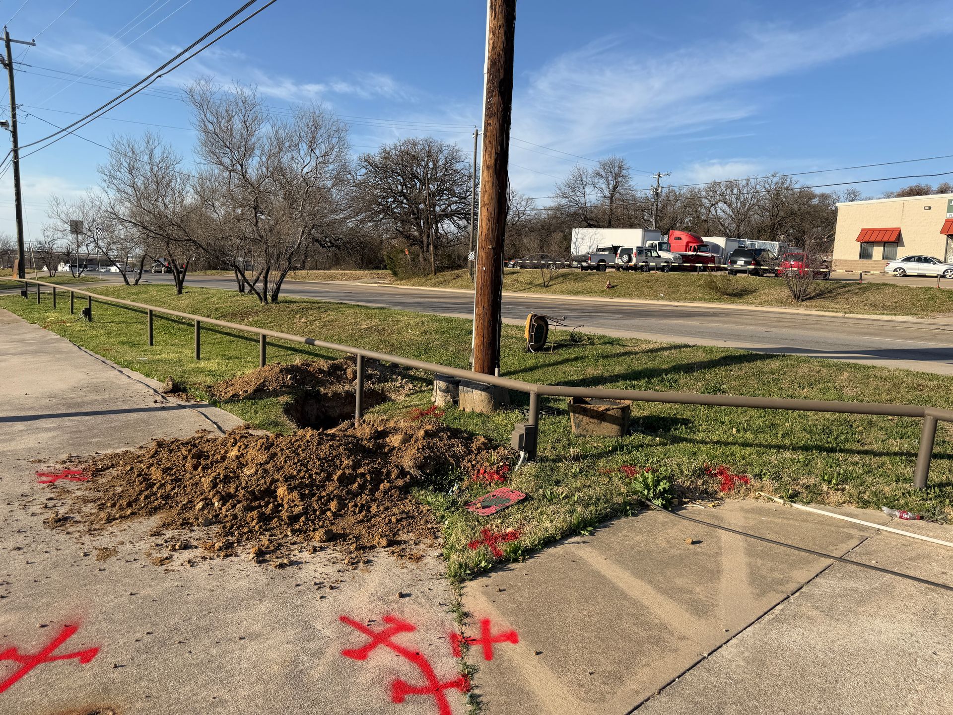 GPS & GIS Data DeliveryLocated features delivered as KMZ, shapefile or CSV, keyed to your account IDs, ready for the inventory or design.Learn more →
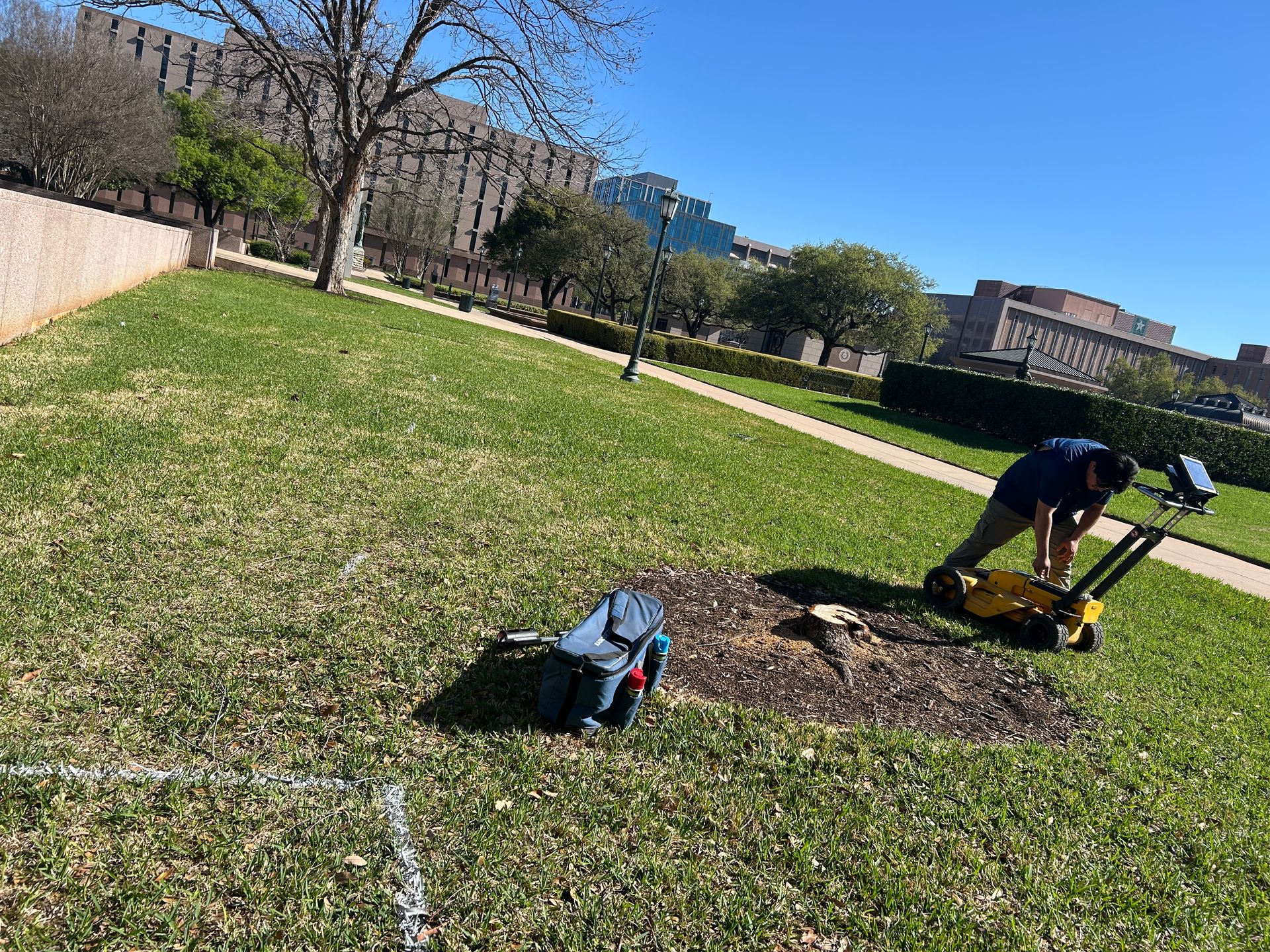 GPR Ground ScanningGround-penetrating radar for plastic and other non-metallic lines, abandoned pipe and buried features EM locators miss.Learn more →
- Sewer Camera InspectionCamera inspection of sewer mains and laterals to check for cross bores and conflicts before boring new service lines.Learn more →
How it works
- 1Request an assessmentTell us the system, the number of unknown or suspected lead lines, the area and your schedule.
- 2Scope and priceYou get a written scope and price: what gets located, what gets recorded and the data format you need.
- 3Locate and recordCrews locate curb stops, meter boxes, service lines and mains, and record GPS points and photos at each one.
- 4Marked in the fieldUtilities are marked to the APWA color code where crews will dig, bore or burst.
- 5Data that drops into your inventoryPoints, photos and notes delivered as KMZ, shapefile or CSV, keyed to your account or address list.
Under EPA's Lead and Copper Rule Improvements (LCRI), community water systems need a baseline service line inventory, including connectors, by November 1, 2027, and a replacement program for lead and galvanized-requiring-replacement lines that starts the same day. Every line listed as "unknown" counts toward the replacement workload until it is identified.
That turns into field work: finding curb stops and meter boxes, tracing service lines, mapping mains ahead of replacement contracts, and getting clean, located data into the inventory. Texas Service Lines puts locating and mapping crews on that work across the state.
Who we work with
What you get
Where we work
Crews cover Texas statewide, from the Houston-area MUDs and the Gulf Coast to Dallas–Fort Worth, Central Texas, South Texas, West Texas and the Panhandle.
Dallas–Fort Worth
Central Texas
South Texas
Guides
- The LCRI in Texas: What Water Systems Need Done Before November 1, 2027What EPA's Lead and Copper Rule Improvements require of Texas water systems by November 1, 2027: the baseline service line inventory, unknown lines, notices and the replacement program.
- Paying for Lead Service Line Work in Texas: The TWDB ProgramHow the Texas Water Development Board's lead service line program works: eligible inventory, planning and replacement activities, principal forgiveness and the project priority list.
- How to Resolve Unknown Service Lines: Records, Locating and VerificationPractical ways Texas water systems resolve unknown service lines for the LCRI inventory, and where locating, GPR and GIS mapping make each step faster and cheaper.
Common questions
Do you replace lead service lines?
No. We locate, scan and map. Replacement is done by your utility or its contractor, and our data tells them where to dig.
What is the LCRI deadline?
Under EPA's Lead and Copper Rule Improvements, the compliance date is November 1, 2027. Community water systems need a baseline service line inventory, including connectors, by then, and replacement programs begin the same day. Check with TCEQ for how the state is applying it to your system.
We are a small MUD or water supply corporation. Is this for us?
Yes. Small systems often have the fewest records and the most unknowns, and the work can be scoped to a sample area or a single subdivision.
Can this be paid for with lead service line funding?
Inventory, planning and replacement are eligible activities in the Texas Water Development Board's lead service line program. Eligibility and terms depend on your system, so confirm with TWDB or your engineer.
Request a site assessment
Send the system name, area and rough line count. You'll get a written scope and price for locating, recording and mapping.
Calls ring straight through to the scheduling team. The form takes photos, drawings and site details.